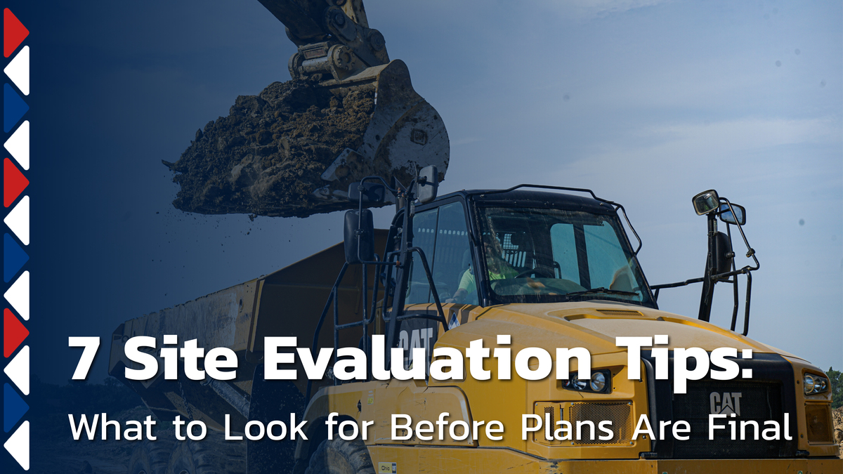
7 Site Evaluation Tips: What to Look for Before Plans Are Final
Every piece of raw ground has patterns. Water moves through it, soil shifts under it, and vegetation grows in response to both. A plan set captures some of that through survey data and engineering, but it captures it at a single point in time. The ground keeps moving after the survey crew leaves.
That's where surprises come from. Industry research shows larger projects average around 11.8 change orders. Unforeseen site conditions are a recurring driver. The seven site evaluation points below come from what experienced site crews notice when walking raw ground. Each one is something you can look for or ask about before plans are finalized.
Why What You See on Paper and What the Ground Does Aren't Always the Same
Survey data, engineering calculations, and design assumptions all go into a plan set. Together they represent the best information available at the time the site was studied. But the ground doesn't hold still. Water finds new paths after storms. Soil settles in areas that looked stable during a dry-weather survey. Soft spots develop where vegetation has been masking moisture for years.
That matters most with water. Water is one of the most common drivers of soil problems in construction. It leads to settlement, erosion, and long-term damage when it isn't planned for early. A contour map shows where water should go. Three days of rain shows where it actually goes.
Between preliminary plans and final engineering, there's still a window. Field intelligence can shape the design during that window. The seven tips that follow are the observations that close this gap.
1. Walk the Site After a Hard Rain
Rain does something no survey can replicate. It activates the ground and shows you exactly where water collects, where it runs, and where it sits. Drainage plans are designed from topo data. A hard rain reveals what the ground is already doing before any dirt moves.
Look for water pooling in low areas. Watch for surface flow cutting visible paths. Note where saturated zones stay wet longer than the ground around them. If you can't time a visit after weather, ask your site evaluation partner to walk the property and document what they find. Those observations give your design team reference points while adjustments are still on paper.
2. Read What the Vegetation Is Telling You
Plant life responds to what's happening below the surface. Persistent green patches during dry spells point to water sitting below grade. Wetland-type plants in specific zones signal saturated soil. Tree lines that follow a consistent path across the property often trace drainage routes that a topo map won't show.
These patterns predict construction conditions. Zones with dense, moisture-loving vegetation tend to stay soft, hold water, and resist compaction. That affects grading scope and drainage design. A site walk can reveal all of it long before the first truck rolls in.
3. Check the Grades and Drainage on Neighboring Properties
Water doesn't respect property lines. In subdivision work, what happens on neighboring properties affects yours. Adjacent grades, existing ditches, and neighboring runoff all shape how water reaches your project. Those offsite conditions can create onsite problems your plan set hasn't accounted for.
A neighboring property graded toward your site line pushes water your direction. An existing ditch your design ties into may not handle the volume your engineer assumed. These issues are straightforward to adjust on paper. They're expensive to fix once grading has started.
4. Look at Access and Staging from an Equipment Perspective
The ground isn't the only thing plans can miss. How equipment will get onto the site, move around it, and work is a separate question. Turning radius for off-road trucks, haul road routing, and laydown areas all affect pace and cost. So do seasonal limits on unpaved approaches. These details rarely appear in drawings because they fall outside the designer's scope.
When they aren't evaluated early, the problems surface as delays once equipment arrives. An experienced site partner can walk the property and flag access issues while the plan still has room for adjustment.
5. Compare What Looks Flat on Paper to What the Ground Is Doing
Contour lines and spot grades represent elevation on a flat screen. The ground has depth, texture, and transitions that read differently on foot. A section that looks like a gentle slope on paper may have a grade break. That break can change how water moves or how much cut-and-fill the job needs.
Design elevations capture the site at one point in time. The ground develops texture and variation after a survey. An early walkthrough with someone who grades for a living can flag these discrepancies. At this stage, they're still design conversations.
6. Use GPS to Pressure-Test Design Elevations Early
GPS-equipped dozers and compactors overlay a design model onto actual ground conditions in real time. That makes GPS a verification step you can request during early site work.
It catches discrepancies between design elevations and actual grades. It flags areas where cut-and-fill quantities will differ from the estimate. It identifies spots where drainage grades may not perform as predicted. The data points to the problem. An operator who has graded hundreds of sites reads what that problem means for drainage, quantities, and schedule.
7. Get Your Site Development Partner Involved Before Plans Are Locked
Every observation in tips one through six is something an experienced site evaluation partner already does. The highest-value move you can make is bringing that expertise in while your plans can still absorb it.
Early field input identifies drainage adjustments and flags grading scope changes. It also surfaces access issues. All of those are pencil marks on a plan right now. Once equipment is mobilized, they become change orders. Field input during design is tied to better budget control. The earlier it happens, the more your project benefits. If you're weighing when to bring a site development partner to the table, the answer is before your plans are finalized.
Evaluate Smarter, Build Better — Charles H. Hamilton
Charles H. Hamilton has spent 60+ years developing sites across Southwest Ohio. We bring field-level intelligence to the conversation before designs are locked. That way, your plans reflect what the site is actually doing.
If you're approaching final engineering on a new project, reach out to our team. Let's walk the site together and make sure your plans have the full picture.